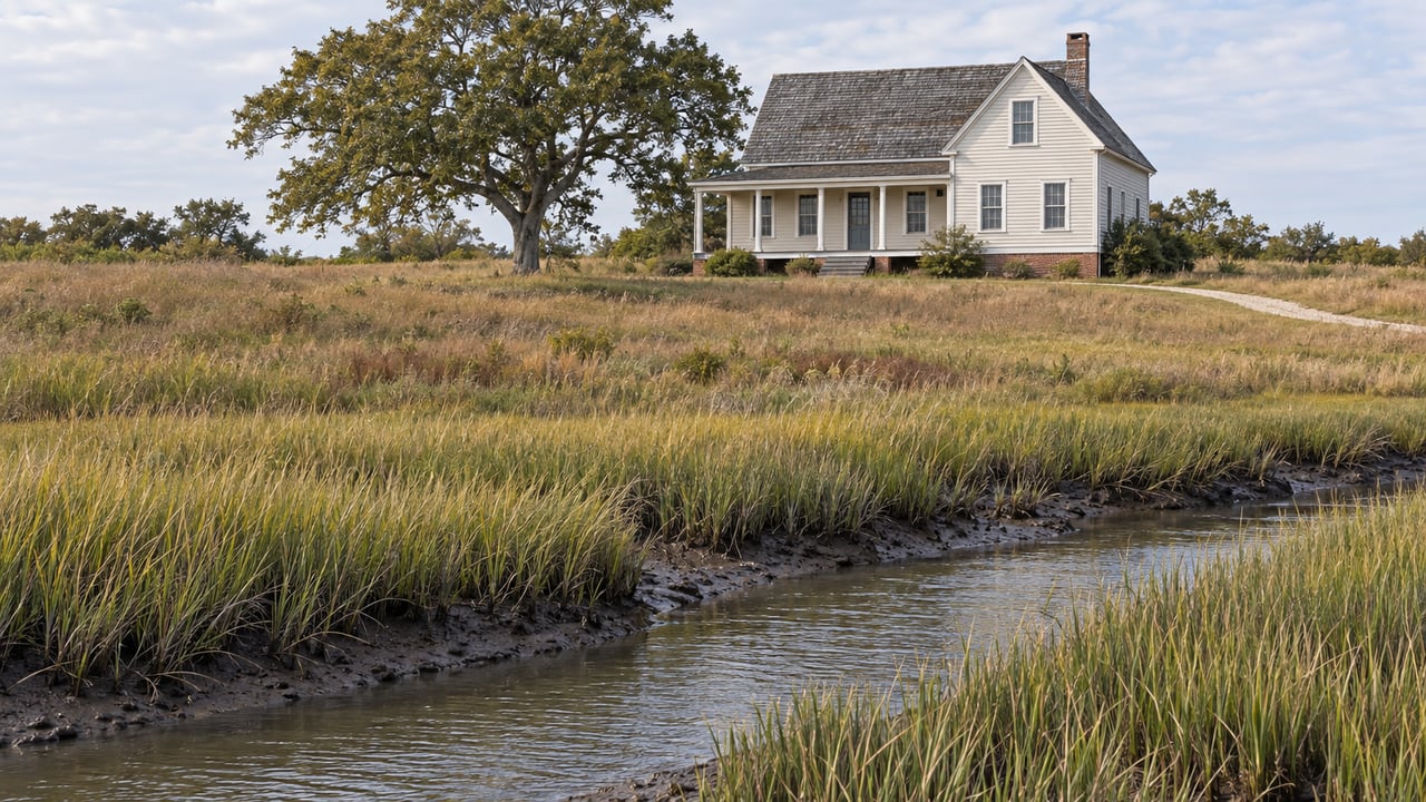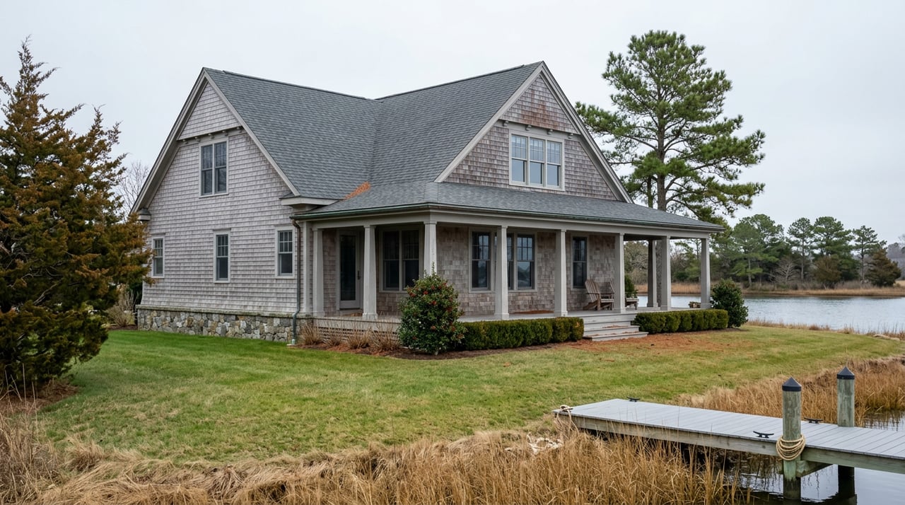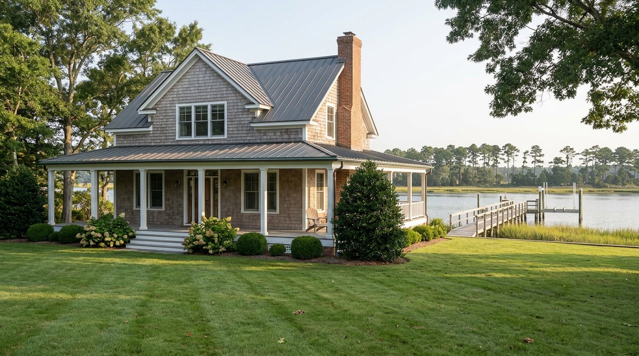
You walk the dock during a showing. It's solid underfoot, freshly power-washed, the exact width you'd want for a center console and a kayak rack. The listing agent mentions it "conveys with the property," and on a warm afternoon overlooking the Choptank or one of Cambridge's quieter creeks, that's easy to take at face value.
What the walkthrough won't tell you is whether that dock is the one you're legally entitled to keep, rebuild, or extend once you own the ground beneath it. In Dorchester County, the answer depends on paperwork that has nothing to do with how the structure looks, and everything to do with a deed, a zoning setback, and a permit history that most buyers never ask to see until it's too late to matter.
The Deed Decides What You're Actually Buying
Baylaw LLC explains that waterfront in Maryland splits into two very different categories, and the split isn't about the view. It's about the deed. A property with riparian rights holds a deed that runs to the water's edge, which gives the owner the ability to apply for a pier and to use the water in front of the lot. A property without those rights, sometimes sold as "water access" or "water-oriented," may sit close to a creek or river without any of that legal standing.
Under Maryland law, a deed conveying land bounded by water generally passes riparian rights along with it, unless the seller has expressly reserved those rights. That distinction matters because it isn't always obvious from a listing sheet. A title search that specifically checks for reserved rights, recorded easements, or state leases affecting the submerged land in front of the parcel is worth requesting before you're past your inspection contingency, not after.
Riparian disputes in Maryland can involve legal deadlines. If a prior owner had an unresolved disagreement with a neighbor over pier placement or shoreline access, ask about it before settlement.
What Dorchester County Will Actually Let You Build
Even with clean riparian rights, the county still decides what can physically go into the water. Dorchester County's zoning code sets specific limits on waterfront structures.
Three requirements worth confirming before you waive contingencies on a Cambridge waterfront property:
- Waterfront structures, including mooring poles, are subject to side-lot-line setbacks.
- Dorchester County's zoning code says a pier or dock cannot extend more than half the distance from the mean high water line to the centerline of the waterway, though the Board of Appeals can approve a variance for a longer one.
- Structures built on top of a pier, such as a boathouse or covered platform, are not permitted under the county's supplementary use regulations.
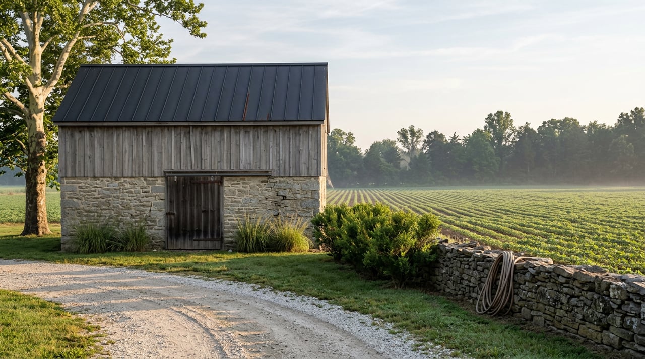
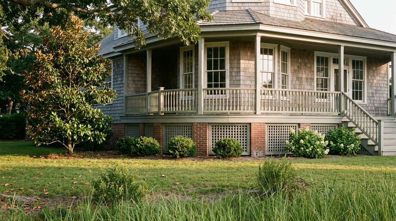
Here's where the friction shows up. Dorchester County's nonconforming-situation rules explain that an existing dock that predates these rules, or that was built under a variance, may not conform to what a new owner could build if that same structure were ever damaged and needed to be replaced. The pier in the photos might be grandfathered rather than guaranteed. Before closing, it's reasonable to ask the seller for copies of any prior pier or dredging permits, and to call Dorchester County Planning and Zoning directly at 410-228-3234 to confirm what's on file for that specific parcel. Their office sits at 501 Court Lane in Cambridge, and a five-minute call can tell you whether you're inheriting a compliant structure or a structure that only works until it needs rebuilding.
If your search takes you toward public water access instead, Cambridge itself offers a useful comparison point. The city maintains public boat launches at Franklin Street and Great Marsh Park, along with the Cambridge Lighthouse Municipal Yacht Basin within walking distance of downtown. These public options provide context for water access, while private-pier requirements should be confirmed for the individual parcel.
The Flood Insurance Rule That Changed Quietly
Here's the part that surprises even buyers who've done their homework on riparian rights. For years, getting flood insurance on a waterfront property in a high-risk zone meant hiring a surveyor for an elevation certificate, a document that could run several hundred dollars or more depending on the property, so the insurer could calculate a premium based on how high the structure sits relative to the base flood elevation.
That changed with FEMA's Risk Rating 2.0 rollout, phased in starting October 2021. Apartment Coverage explains that FEMA now uses LiDAR-based remote sensing to estimate a building's elevation automatically, which means most new National Flood Insurance Program policies no longer require an elevation certificate just to get a quote or bind coverage. For a buyer trying to close quickly, that's a genuine convenience.
FEMA no longer needing an elevation certificate for pricing doesn't mean your local jurisdiction has dropped its own requirement. Dorchester County's own floodplain administrator is the right call to make if you're planning any work on a waterfront structure, to confirm what documentation the permitting process requires independent of what an insurer asks for.
That gap matters more in Cambridge than it might elsewhere. The most common FEMA flood zones here include AE, VE, and X, and Dorchester County carries a level of flood exposure that isn't matched by how many owners actually insure against it. Only about one in seven Dorchester households currently carries NFIP flood insurance, despite the county's elevated risk profile, and the county has historically seen roughly one claim for every two active policies since 1978. Skipping the elevation certificate might save you money at the insurance stage. It won't tell you what your lowest floor actually sits at relative to base flood elevation, which is the number that matters if you ever want to build, renovate, or successfully argue that FEMA has your property mapped wrong.
What This Means at the Closing Table
None of this should scare a buyer off Cambridge waterfront. It should change what you ask for during due diligence. A title search that checks specifically for riparian reservations. A call to the county to confirm what's permitted on the existing dock, not just what's built. And a clear-eyed decision about whether to get an elevation certificate anyway, even though the insurer may not require one, because the permitting and mapping benefits outlive the insurance quote.
This is the kind of homework that turns a waterfront purchase from a leap of faith into an informed decision, and it's exactly the ground The Linthicum Group works on with buyers and sellers across Cambridge, including waterfront transactions like the $1,395,000 sale the team closed in town. Craig Linthicum's twenty-plus years on the Eastern Shore mean these conversations happen before an offer goes in, not after an inspection turns up a surprise.
A Few Questions Worth Asking Early
Does every waterfront property in Cambridge have riparian rights? No. Some water-access properties carry no riparian rights at all, meaning no ability to apply for a private pier. The deed language is the only reliable way to know, which is why a title review focused specifically on riparian reservations matters more here than in most transactions.
If the dock is already there, do I need to worry about permits? Yes, especially if you ever plan to repair or rebuild it. An existing structure can be legal to keep but not legal to replace under current setback and extension rules, so confirming its permit history protects you down the road even if you have no plans to touch it now.
Do I still need a flood elevation certificate if my lender doesn't ask for one? If you might renovate, build, or want to challenge a flood zone designation later, an elevation certificate on file now saves you from commissioning one under pressure later, at a time when timelines matter more.
If you're weighing a waterfront purchase in Cambridge and want a straight read on what a specific parcel's deed, permit history, and flood zone actually allow, The Linthicum Group can walk the paperwork with you before you're standing on a dock deciding whether to make an offer.
This article is general information, not legal, tax or financial advice. Consult a qualified professional about your situation.