On the evening of April 20, the meeting hall at the Queen Anne–Hillsboro Volunteer Fire Company filled past standing room. People leaned against the back wall and spilled toward the door. State transportation officials had come to talk about a bike and pedestrian trail, a topic that in most towns draws a folding table's worth of interest. In Cordova, it drew a crowd loud enough that the debate made the front page of the Star Democrat two days later.
A month earlier, thirty minutes away in downtown Easton, the Talbot County Council approved an easement for a very similar kind of trail extension. No standing room issue. No pushback. Just a unanimous vote and a move to the next agenda item.
Same basic idea. Same county. Two completely different receptions. That gap is the story, and it tells you more about how trails actually get built on the Mid-Shore than any press release will.
What's Actually on the Table
The project drawing the crowds is the Frederick Douglass Rail Trail, a proposed 9.5-mile paved path that would run along Cordova Road, also known as MD 309, connecting Tuckahoe State Park in Queen Anne's County to Black Dog Alley just north of Easton. The Maryland Department of Transportation and the State Highway Administration are leading the design work, with the Federal Highway Administration also involved. If built, it would be a 10-foot-wide shared-use path for walkers and cyclists, running along a rail corridor that once hauled freight and passengers between Easton and Queen Anne.
The name comes from the route's proximity to Frederick Douglass's birthplace near Cordova. In February 2025, MDOT and the Maryland Historical Trust installed a roadside historical marker honoring Douglass along MD 303 near the same area, and the trail is designed to connect directly to Frederick Douglass Park on the Tuckahoe, a Talbot County Parks and Recreation project currently being built in stages.
That's the pitch. Here's where it gets complicated.
Forty-Four Years of Empty Track
The corridor itself is not new land. The state has owned it since 1982, holding the property for eventual public use, and it has carried formal railbanking protection since 2013, a federal designation that preserves a rail right-of-way for possible future train service while allowing it to serve another public purpose in the meantime, most often a trail. For most of its length, the tracks are grown over with trees, weeds, and shrubs. Nobody has run a train down this stretch in decades.
The idea of converting it hasn't just appeared, either. In 2020, the Talbot County Council backed a Maryland Department of Natural Resources request for National Park Service technical assistance to study a trail linking Easton, Cordova, and Queen Anne, a project that grew into a regional planning effort involving Talbot Thrive, the Eastern Shore Land Conservancy, MDOT, and DNR. The Frederick Douglass Rail Trail was formally added to the county's state funding priority list when the Council ratified it in March 2024. This has been moving through committee rooms for years. What changed in April wasn't the plan. It was the volume.
Why the Timing Looks Off, and Why That Matters
Joe McAndrew, MDOT's assistant secretary for project development and delivery, told the crowd something worth sitting with: agencies don't typically hold a public meeting this early in a project's design phase. According to reporting from the Talbot Spy, the April meeting happened largely because of pressure on the Secretary of Transportation to open the conversation before formal outreach had even started.
In other words, the state showed its hand earlier than usual, which is part of why the meeting felt like a done deal to the people in that room even though it wasn't. Design work is only beginning. Construction funding has not been secured. State officials have said they don't expect construction to start before 2029 at the earliest, and another public meeting is expected before the end of the year to review updated design details.
If you're trying to gauge how real this is right now, that's the number to hold onto: 2029, at the earliest, contingent on money that doesn't yet exist.
What Farmers Are Actually Worried About
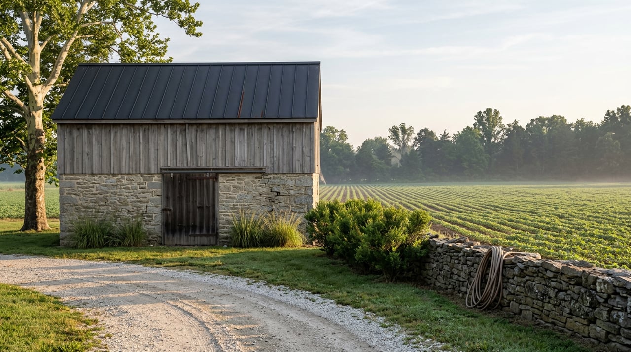
The opposition in Cordova isn't abstract. Sonny Eaton, a farmer in Queen Anne, told WBOC he's flatly against the project, citing the risk of people walking near active farmland and the liability that comes with it. Robert Saathoff Jr., another local farmer, put it more bluntly at the April meeting, arguing the trail simply doesn't fit a community built around working land.
The most concrete concern came from Mountaire Farms. Sam Parker, the company's grain facilities director, told officials that two of Mountaire's grain elevators along the corridor would be directly affected, since heavy truck traffic already crosses that stretch of rail line to move grain in and out.
That's a different kind of objection than "we don't want a trail near town." It's a specific, named business with equipment and truck routes that intersect the proposed path, which is exactly the kind of engineering problem that has to get solved in design, not waved away in a press release.
What Supporters Are Counting On
Not everyone in the room was opposed. Heather Grant, executive director of Talbot Thrive, has argued that well-maintained rail trails tend to become assets rather than liabilities over time, drawing visitors toward farm stands, pick-your-own operations, and local products rather than away from them. Her broader point, echoed by cycling advocates at the meeting, is that the Eastern Shore has very little trail mileage relative to how many visitors come through the region each year for recreation and tourism, and that a connected network changes what's possible for towns along the route, not just Cordova and Queen Anne but Easton on the other end of the corridor.
Supporters also pushed back on the idea that a rural trail wouldn't get used, pointing to rail trails elsewhere in the country that draw steady foot and bike traffic through farm country once they're built and marked.
The Contrast That Actually Explains This
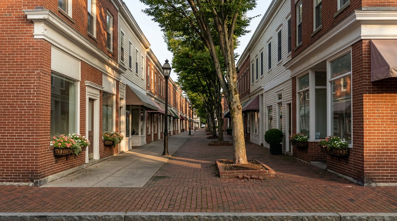
Here's the piece that ties it together. Within Easton's town limits, this same basic concept isn't controversial at all. The town's Rails-to-Trails network has existed since 1998, when the original North-South Trail opened running through the middle of town. It has been extended in phases ever since, including a stretch that crosses the Tred Avon River and links to newer development on the west side of town. On March 24, 2026, the County Council unanimously approved a right-of-way easement with the Town of Easton to extend that trail system further, on county-owned property, with no debate and no crowd.
The difference isn't the concept of a trail. It's what the trail crosses. Inside town, a rail trail runs past parks, schools, and residential blocks that already expect foot and bike traffic. Out along MD 309 through Cordova, the same width of pavement runs directly past working grain operations and cropland where liability and equipment access are daily realities, not hypotheticals. Same corridor, same railbanked status, same decade-long planning history. Wildly different stakes depending on which mile marker you're standing at.
What to Watch For
If you're following this because you live nearby, here's where things actually stand as of now:
- Design is in an early phase. Nothing is finalized, and the alignment through Cordova is still open to change based on feedback from farmers and Mountaire Farms.
- No construction funding has been secured, and state officials have named 2029 as the earliest realistic start date, contingent on that funding coming through.
- Another public meeting is expected before the end of 2026 to walk through updated design details.
- The Easton side of the story is already moving. The town's own trail extension, separate from the Cordova fight, has county approval and no funding controversy attached to it.
The trail through Cordova may or may not get built the way it was first sketched out. But the trail inside Easton isn't waiting on that outcome. It's already been growing, one approved easement at a time, since 1998.
If you're the kind of person who likes understanding how a place actually works, not just what it looks like from the road, that's the Mid-Shore in miniature: quiet consensus in town, real friction where pavement meets working land, and a state agency learning in real time how early is too early to ask.
For more on what's happening around Easton, Cambridge, and the rest of Maryland's Eastern Shore, The Linthicum Group keeps an eye on the local stories that shape these towns. Contact Us if you'd like to talk about the area.